| |
|
|
| Alice Springs and West McDonnell National Park |
|
Week 15 - October 4th 2010 |
| |
|
|
 |
|
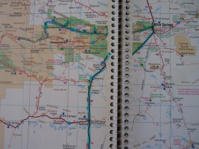
West from Arckaranaga to Stuart Hwy then to Alice Springs.
West from Alice along West McDonnell NP to see the Gorges.
Hema 7 P100
|
| |
|
|
 |
|
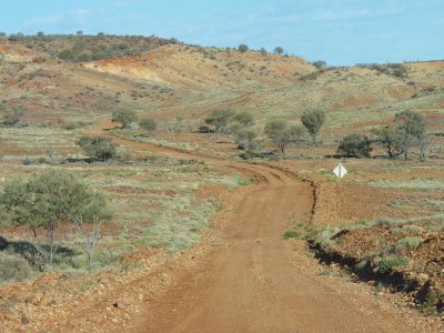
The road West from Arckaringa Homestead.
Easy going narrow track.
We think most of the traffic heads South via the Moon Plain to Coober
Pedy.
|
 |
|
Difficult to capture a whole museum in a photograph.
The Alice Springs Cultural Precinct has a Museum (excellent geological
and palaeontology display) as well an arts centre (with 10 original Albert
Namatjira watercolours) and an aviation museum.
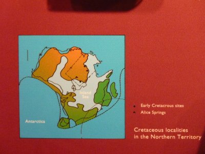
This was the shape of "the inland sea" during the Cretaceous
period. We've been looking for a description of how the sea changed over
time. |
| |
|
|
 |
|
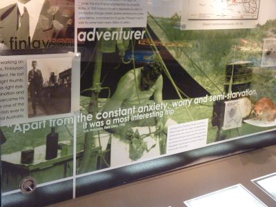
Finlayson had a few adventures looking at the flora and
fauna of the centre in the 1930's. |
| |
|
|
 |
|
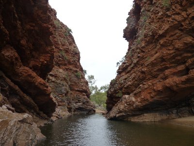
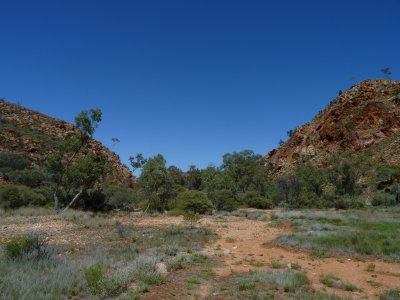
Headed West into West McDonnell National Park.
This is Simpsons Gorge. |
| |
|
|
 |
|
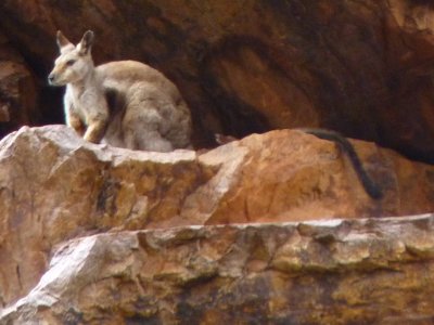
And a black footed rock wallaby watched our every move.
Had to check the photo a few times to make sure it really was its tail
hung over the rock. |
| |
|
|
 |
|
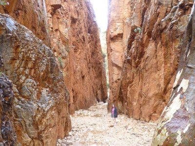
Standley Chasm.
A bit put out at paying $8 each. The sign says "for upkeep"
but it didn't seem to have changed in 30 years. |
| |
|
|
 |
|
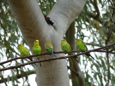
There's a proliferation of budgies this year.
We first noticed a few in Sturt National Park.
In the centre they are throughout all the creeks. |
| |
|
|
 |
|
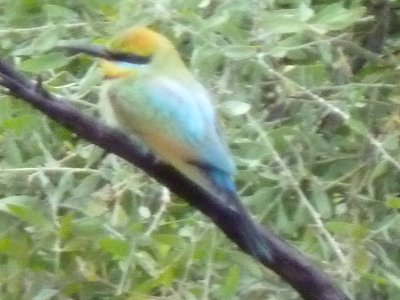
With a bit of help we found the Rainbow Bee Eater in the
bird book. |
| |
|
|
 |
|
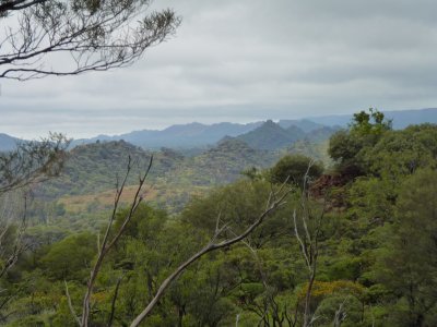
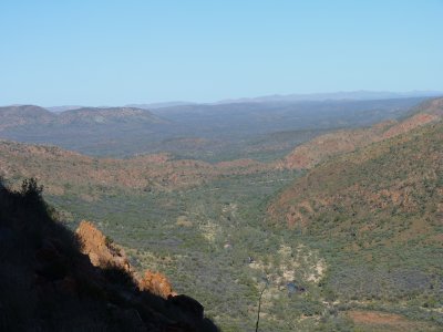
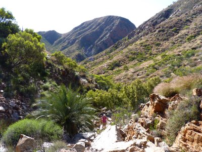
We took the track along Hugh River to Birthday Waterhole.
This is looking West from a ridge just after the track left the main
road. |
| |
|
|
 |
|
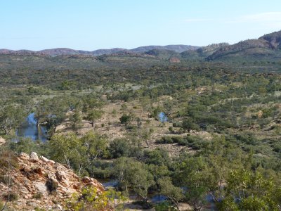
Looking upstream from the same ridge.
The track is through there somewhere. |
| |
|
|
 |
|
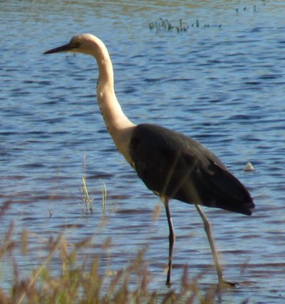
Heron at Birthday Waterhole. |
| |
|
|
 |
|
The North side of Stuarts Pass - we think as its marked in
different places on our various maps.
Either way, the track we drove up is apparently close to where Stuart
explored. |
| |
|
|
 |
|
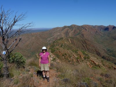
Followed the Larapinta Trail to the East. Birthday
Waterhole is just to the right of centre. |
| |
|
|
 |
|
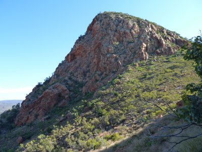
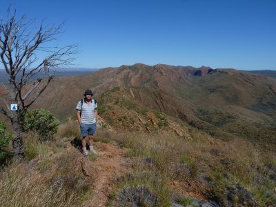
The bluff to the East. About as far as we walked. |
| |
|
|
 |
|
Spencer Gorge is on the Larapinta Trail to the West. |
| |
|
|
 |
|
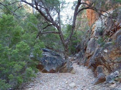
Passed through Spencer Gorge. Looking back its the gap to
the right. |
| |
|
|
 |
|
The lookout as far as we walked to the West. Looking
further West. Hughes Gorge is the darker patch at the right. |
| |
|
|
 |
|
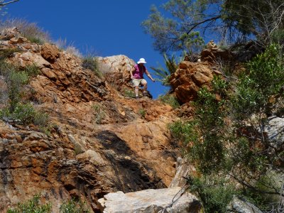
Yes. We both walked there. |
| |
|
|
 |
|
And it was a bit steep. |
| |
|
|
 |
|
Driving out took us about 1 3/4 hours for 13 km. A bit
faster than the drive in.
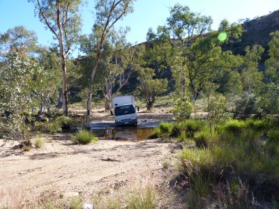
This is the creek crossing nearest Birthday Waterhole. Apparently some
people have a bit of difficulty with it. |
| |
|
|
 |
|
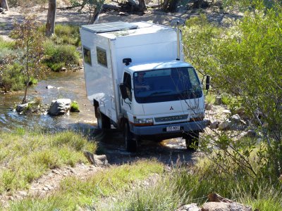
This was a creek crossing with a bit of uphill out of it.
Pleased at the way Tardis crawled over the rocks.
There's a bit of twist (good) noticeable between the cab and the body. |
| |
|
|
 |
|
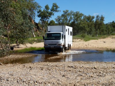
This was soft sand at the entry and exit. Fortunately
gravel in the middle. |
| |
|
|
 |
|
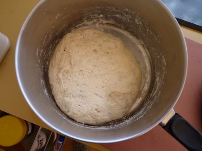
Running low on bread we made some.
This is the dough after proving the first time. |
| |
|
|
 |
|
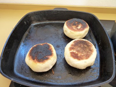
Cooking bread on a diesel cooker with a frying pan.
A later improvement was grease proof paper and lower temperature. |
| |
|
|
 |
|
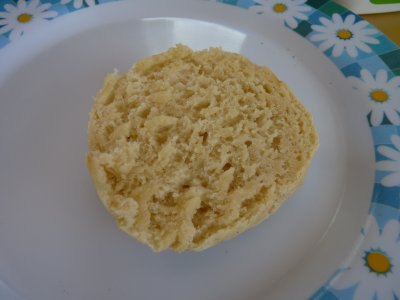
And yes. It rose and cooked well.
It even tasted good. |
| |
|
|
| West McDonnell NP |
|
Week 16 - October 11th 2010 |
|
|
|